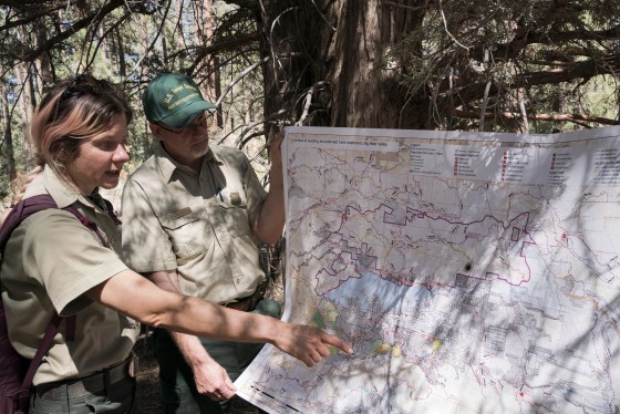
BIG BEAR LAKE, Calif. — High up in the eastern San Bernardino mountains, Christina Barba nodded with satisfaction as she surveyed how the forest had grown back in the year since she started a fire here.
A Forest Service fuels planner, Barba is responsible for decreasing the risk of damage from wildfires to communities, water supplies and other natural resources by reducing the trees and brush that could turn low-level flames into deadly blazes. One of her tools is lighting low-to-the-ground fires under the right conditions.
“This spot is a five-minute walk from my house,” she said, pointing toward a set of rooftops a few dozen feet away. “I have a very strong feeling toward not having it burn down.”
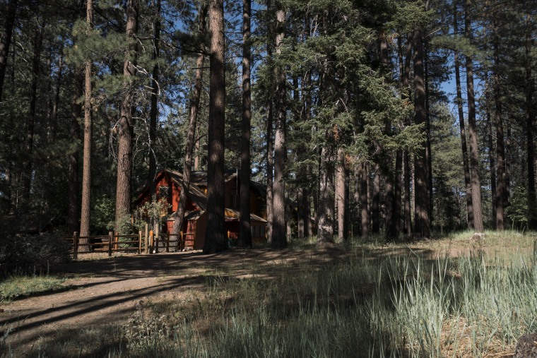
The planned burn did what it was supposed to do, but these 11 acres, along with millions of others, were counted at least twice when the Forest Service reported to Congress about its progress in reducing wildfire risk, an NBC News analysis found.
Over the past 20 years, leading federal oversight agencies have repeatedly criticized how the Forest Service calculates its progress in eliminating the trees and brush that fuel dangerous fires — one of the key strategies for combating the wildfire crisis — calling its annual reporting of acres treated to reduce risk “misleading” and “inaccurate,” and recommending changes. Yet the measure has remained the service’s main metric, contributing to a system that experts say has long incentivized not the most effective and important risk reduction work, but the cheapest.
NBC News found that throughout the country, the Forest Service has counted many of the same pieces of land toward its risk-reduction goals from two to six times, and, in a few cases, dozens of times. The agency has reported that it reduced “hazardous fuel” on roughly 40 million acres of land in the past 15 years, but that figure may be overstated by an estimated 21% nationally, according to the analysis of public Forest Service records. In California, it is overstated by approximately 30%.
The inflated figures provided to Congress deprive those making funding decisions of knowing the true scope of the challenge, experts say.
“As we make large investments like the infrastructure bill, how many acres does that actually get us in terms of wildfire hazard reduction?” asked Matt Hurteau, a forest and fire ecology professor at the University of New Mexico. “If we’re double or triple counting a treatment on a particular acre, then we’re giving the impression that a lot more area is being treated than actually is.”
That creates confusion for the public and decision makers, said Hurteau, along with other experts and agency employees. The agency said that the number of treated acres it reports to Congress annually is a measure of the “total amount of work” performed, and that it has other metrics to address how much land is being protected.
“Total acres is a measure that is commonly understood and accepted,” said Forest Service spokesperson Wade Muehlhof. “Our current reporting metrics provide a high level of transparency on how fuels work is completed during the annual funding cycle.”
Facing wildfires growing in frequency and intensity across the West, Congress recently approved over $3.5 billion for risk reduction work, with more expected soon. But legislators and oversight agencies have been pushing the Forest Service since the early 2000s to shift its focus to tracking progress in ways that better reflect how risk is reduced. The agency has been promising to do so for nearly as long, introducing several different “outcome” measures over the years.
“For years, pretty much everyone in the system has been saying this [main] measurement is not good enough, and we think we can do better,” said Courtney Schultz, a professor of forest and natural resource policy at Colorado State University who has conducted research with the agency on fire risk reduction. But the shift away from it has yet to happen. With all the new investment from Congress, she said, “now is the time to do that.”
This year, the Forest Service laid out new plans to focus on outcomes and ramp up treatments fourfold in the West, reducing risk on 20 million acres in the next decade. But 20 million acres treated and 20 million acres of land protected are two very different measures.
“The goal, while described in acres on National Forest System lands, is about reducing risks to communities. It’s not as black and white as fully treated vs. risk reduction,” Muehlhof said. “When we talk numbers at the large scales we work, it will always be difficult to communicate and understand. We fully admit that we must continually do better in communicating how we’re reporting information.”
63 million acres
The U.S. Forest Service is the nation’s largest fire-prevention agency, placing it at the center of debates around how to confront the wildfire crisis. Yet its efforts over the past few decades to focus on reducing the risk of catastrophic wildfire have been mired in political fights, funding fluctuations, lawsuits and red tape.
Forests evolved to endure, and benefit from, occasional wildfires, which occur naturally as part of an ancient cycle. People disrupted that cycle by suppressing fire in the Western U.S. for roughly a century. Now, wildfires that once would have crawled across small areas increasingly turn into huge, deadly blazes. To prevent those massive fires, the Forest Service reduces their potential fuel — thinning trees, removing debris and lighting planned fires.
Amid climate change and a long drought, the need for this work has become critical. The Forest Service estimates that 63 million acres of its land are at high risk of catastrophic wildfire — an area the size of Oregon that accounts for a third of all national forest acreage, most of it in the parched West. In its most recent plan, released in January, the agency set a goal to reduce wildfire fuel on 20 million acres of its high-risk land by 2032.
The plan aims to prioritize inhabited areas in the midst of nature, known as the wildland urban interface, that have grown as people have increasingly moved into western forests in recent decades. A third of all U.S. homes are now in the wildland urban interface. By working with those high-risk communities on everything from hardening homes against fire to fuel reduction, the Forest Service is seeking to prevent destruction of towns like Paradise, California, and have more homes survive wildfire.
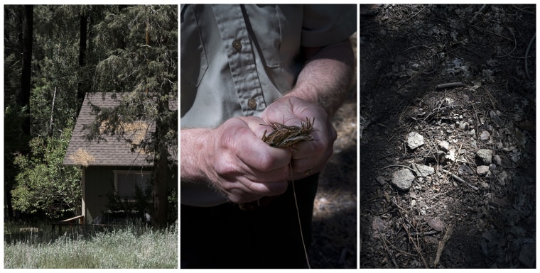
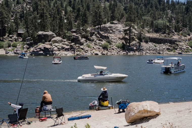
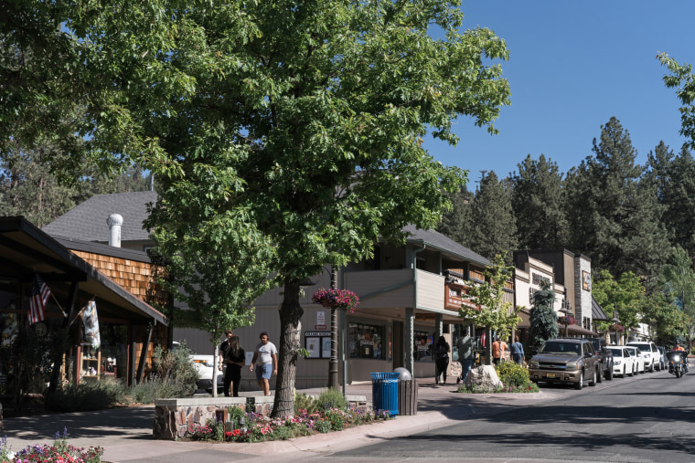
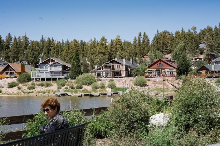
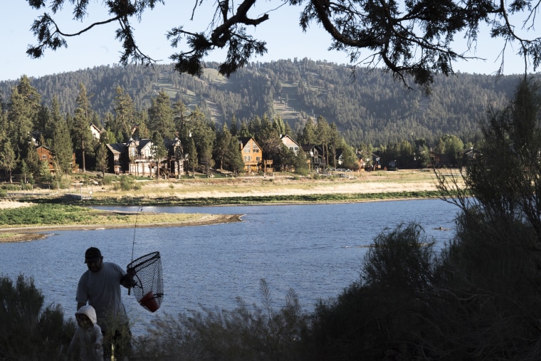
The Big Bear Valley is one such community. A vacation destination just two hours from L.A. nearly 7,000 feet up in the San Bernardino Mountains, it is home to two ski resorts, a picturesque lake and miles of hiking and bike trails. On busy summer and ski weekends, the year-round population of roughly 12,000 swells, with 3 million annual visitors.
It’s also among the most ecologically diverse areas in the U.S. and one of the few alpine forests left in Southern California, said Julie Donnell, wildlife biologist for the Forest Service’s Mountaintop Ranger District, which includes Big Bear. Before large-scale human habitation, many of the forests here had naturally occurring wildfires every five to 10 years, but today, most of the nearby land hasn’t seen any in more than 100 years, increasing the risk of severe fire.
“If we have a fire come in when the fuel loads are this high, we can expect a high intensity fire to come in and burn all of this,” Donnell said. “So if we don’t do this work, we run the chance of completely losing all of it.”
‘You’d be wrong’
In the two decades since the U.S. formalized its hazardous fuel program, much of the south side of Big Bear Lake, where most of the people live, was thinned. But like many forests that have gone decades without fire, that land generally requires multiple steps to fully reduce the risk, including removing the wood and brush piles created by thinning and conducting prescribed burns, like the one outside Barba’s neighborhood. Getting all that work done can take years.
Work is planned in projects covering hundreds to thousands of acres and is then completed in smaller parcels. Last summer, the agency finished one of the largest tracts for its 1,500-acre Baldwin Lake Project on the eastern side of the valley. Employees recorded their steps over several years in an agency database.
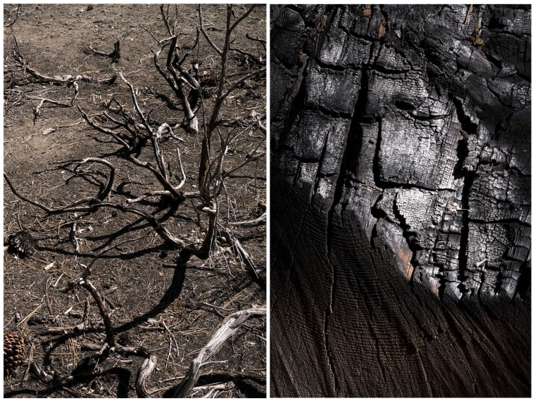
The area, just north of a YMCA camp, covered 173 acres, but NBC News found that because each step of work is reported separately, those acres were entered into the database multiple times.
They first appeared in 2016, when the Forest Service assigned workers to cut trees to reduce the area’s density. The agency came back two years later, pruning the remaining trees and piling the cut wood across the full 173 acres, then chipping 52 acres of it. A few months later, workers burned 18 acres of the piles.
The pruning, piling, chipping and burning were entered as separate items in the database and the agency reported them as 416 acres of treated land in its 2019 fiscal year totals to Congress. In summer 2021, it burned the remaining 155 acres of piles, reporting them in that year’s totals.
The Forest Service’s efforts ultimately reduced fire risk on 173 acres of land, but they were reported to Congress as 744 acres over four fiscal years.
“These acres are reported six times because we must request funding to accomplish the full suite of activities on the same 173 acres,” said Muehlhof, the service’s spokesperson. “Each of these activities needs to be planned and budgeted for annually.”
The Forest Service tells Congress that it reduces wildfire risk on more than 2.5 million acres of its land every year. But this process of recounting the same acres any time more than one type of work is completed means that far less land is protected from damaging fire than is being reported.
The double, triple and quadruple counting has a significant impact on the totals. NBC News analyzed the agency’s publicly available data, finding that roughly one-third of the nearly 250,000 areas reported in the database from fiscal year 2007 to FY2021 were counted more than once. A handful were counted more than 30 times.
“It makes sense we want to show how much work it takes to get something treated. It doesn’t to count the same acres over and over again and say we fixed this much,” said a regional hazardous fuel program officer, who spoke on the condition of anonymity and was not authorized to speak publicly about their work. “If you interpreted those numbers to say, ‘Hey, we mitigated risk on this many acres,’ you’d be wrong.”
‘Misleading data’
The Forest Service started reporting its progress on fuel treatments to Congress in the late 1990s. For most of the years since, the agency has been on notice that oversight agencies considered its way of counting progress inaccurate and recommended changes.
The Government Accountability Office first called out the agency for “problems with the incentives” its total acreage goals had created in a 1999 report and for its “misleading data” in a 2003 report, saying it was “creating the impression that more acres are receiving treatments than what is actually occurring.”
Over the two decades since, those criticisms have been repeatedly echoed by the GAO and the Forest Service’s Inspector General, with outside evaluations and studies also recommending changes. In response to many of those recommendations, the agency repeatedly described its plans to focus on outcome-based metrics. It tried several different methods of reporting the program’s outcomes over the years, but “total acres treated” remained its primary metric.
The Inspector General most recently examined the counting problem in a 2016 report, which warned that "Congress and FS [Forest Service] management run the risk of making funding and prioritization decisions based on inaccurate information."
NBC News found that the issues with how the agency reports its data have continued since that report, and that those inaccuracies are not described in the Forest Service’s annual budget justifications to Congress. For the past two years, the agency described its annual goals for acres treated, immediately followed in the same paragraph by the total acres at high risk across the National Forest system. Muehlhof said the agency is always striving to do better at relaying information.
In the past five years, the national totals of treated forestland reported to Congress have been inflated by 2.5 million acres, an overstatement of 17%, according to an NBC News estimation.
The overcounting was worse in the areas with greater risk. In California, total acres treated have been overstated by an estimated 27% in the past five years, and by roughly 35% in the places near the most people, the state’s wildland urban interface areas.
The Forest Service noted that its hazardous fuels program “uses several reporting metrics that address different aspects of performance.” Total acres treated is one of those, but others “better describe the outcome of reduced risk from wildfire.”
But several Forest Service employees said that total acres treated is still the main metric used to measure performance.
“Right now all of our metrics are about quantity, not quality,” said the regional hazardous fuel program officer. “The people who oversee everything from the ranger districts on up haven’t been held accountable to [the other] metrics. Until they are, it will be business as usual.”
Resources
However the Forest Service’s work is measured, scaling up to meet its new goals will be a massive task.
Climate change and drought have narrowed the time windows for safe burning. Large trees that are cut typically get sold to sawmills to become lumber, but the number of sawmills in the West has dramatically declined in the past few decades, and it is difficult to incentivize new ones to open near national forests. Little infrastructure exists for disposing smaller trees, despite oversight agencies sounding the alarm about that need since the 1980s.
For the timber industry in California, that’s the biggest barrier, said Matt Dias, president of the California Forestry Association, an industry group. “You can have all the goals and objectives that you want, but if you don’t have the outlets to take the material, you are not going to achieve those,” he said. “There is literally nothing to do with the material. … But leaving it on the landscape is not what we want to do.”
Lack of trained staff, meanwhile, prevents some planned burns from taking place. Prescribed fires require well-trained crews to execute successfully. Data from state regulators in California and Colorado for recent years show that after weather-related issues, lack of staffing was the most common reason planned burns did not happen.
“That’s always going to be the No. 1 thing — just not having enough people,” said Marek Smith, North America fire director for The Nature Conservancy, one of the main nonprofit partners for the Forest Service’s fuel treatment program. “Most of the resources being provided have been for wildfire response or suppression. … We don’t have the same type of workforce dedicated to prescribed fire.”
Most of the crews used for planned fires also fight unplanned fires, further limiting their availability. Citing staffing, limited resources and fire safety risks, Forest Service Chief Randy Moore paused almost all controlled burns nationwide last summer.
In just the Forest Service’s northwest region, which covers Oregon and Washington, the hazardous fuel program has more than 2 million acres of “shelf stock” projects — those that have been through the planning process and are just waiting for the staff, resources and timing to be implemented, according to the most recent figures released by the region.
Recent congressional action, including last year’s infrastructure bill, and current pending legislation would target some of these issues, from increasing funding for planned burns to incentivizing new lumber mills and technologies to dispose of nonvaluable fuel, and expanding prescribed fire training. Western states have been ramping up their own budgets for wildfire prevention work.
Even with increased funding and capacity, fixing the burn cycle in America’s forests will still take several decades, said Stephen Pyne, a fire historian and professor emeritus at Arizona State University. “We need to do this for all kinds of reasons — not just to prevent wildfires or fuel buildups, but simply to get these [landscapes] into a form where they’re able to supply all the kinds of goods and services we want out of them.”
“You can have fires of choice or fires of chance,” he said. “But fire isn’t going to go away, and what really makes it tricky is that we need it.”
Methodology
NBC News, using public U.S. Forest Service data and open-source tools, identified and tabulated fire-mitigation work that had been done multiple times on the same land area. An area of work was considered overcounted if it was recorded in the database more than once under the same project. NBC News analyzed the geographic shapes reported with each hazardous fuel treatment activity to describe the area where the treatment might occur and looked for shapes that were identical.
Fuel treatment steps that were completed in the same administrative area were grouped and the groups were used to estimate how much area had been treated each year since 2007. NBC News compared this to the volume of work completed if fuel treatment steps occurring on the same piece of land were counted separately, the metric historically reported to Congress.
Consultation with Forest Service staff was done in order to ensure that NBC News used the same counting methods that the service staff uses in its reports to Congress.
