Quick Links
Key Takeaways
Google gathers real-time location data from other people using Google Maps to show traffic congestion. Google previously used physical traffic cameras and sensors but no longer does.
Google Maps is arguably one of the best services to have been created in the internet era. It's stuffed to the brim with helpful features, including real-time traffic congestion information. Where exactly is Google getting this data from, though?
What Do the Colors Mean?
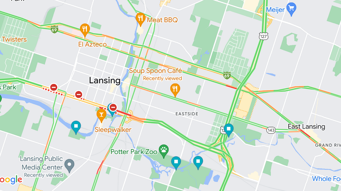
Traffic congestion is represented in Google Maps with three colors: Green, Orange, and Red. As you can see in the image at the top of the article, roads have those colors overlayed on top. This is intended to show you the traffic conditions in real-time.
- Green: Traffic is running smoothly and there are no delays.
- Orange: You may run into some moderate traffic and delays.
- Red: There are traffic delays. The darker the red, the slower traffic is moving.
How Does Google Know the Traffic Conditions?

That's what the colors mean, but where is Google getting the data? Up until the late 2000s, Google collected data from traffic sensors and cameras. These devices were placed on roads by government transportation departments and private companies.
Traffic sensors and cameras use a variety of---you guessed it--sensors and cameras to detect traffic. That information is then used for various purposes, including Google Maps. However, that's not how Google gets traffic data anymore.
Nowadays, Google gets a lot of its traffic information from you. That is, if you use Google Maps on your phone with the location permission granted. In fact, you can't use turn-by-turn navigation without contributing this data to Google.
Google also uses historical data as part of the equation. It can figure out the average time it usually takes for people to travel a certain stretch of road at specific times and days. It's a similar recipe for how Google Maps knows how busy a store is at a given time.
Teamwork Makes the Dream Work
So many people use Google Maps that Google can get an accurate read on traffic just by using your real-time location. It doesn't actually need that many people to use it, though. Let's say you're going 25 MPH on a 65 MPH highway. That tells Google traffic is not moving like it should.
There you have it. Google Maps users around the world are contributing data to help people avoid traffic. You were probably contributing without even knowing it. If you don't want to share this data, you can turn off your location tracking on Android and the iPhone. However, that basically makes Maps useless.